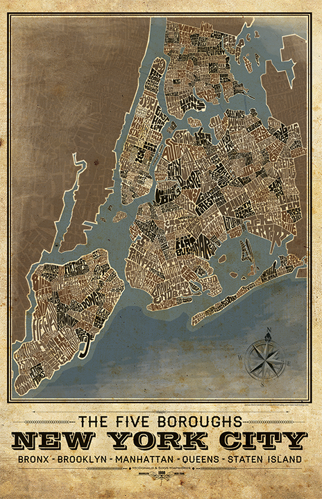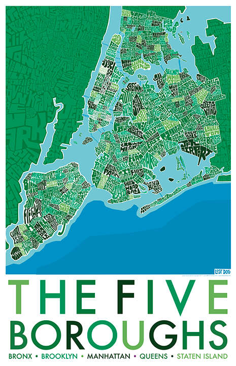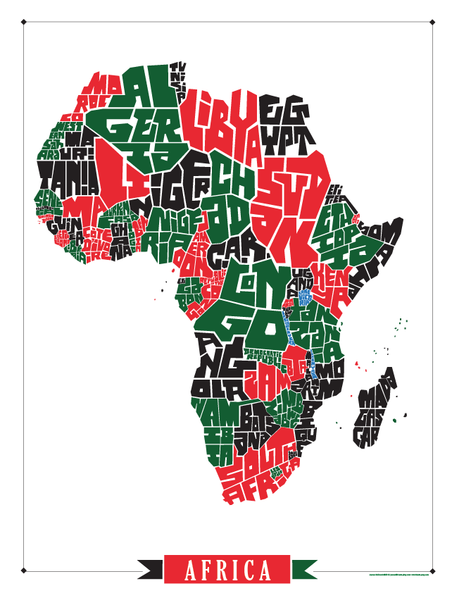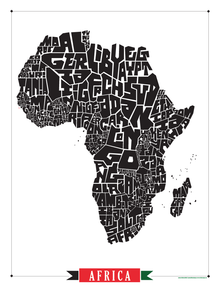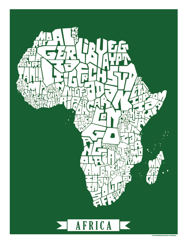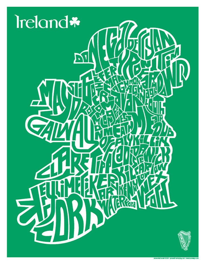
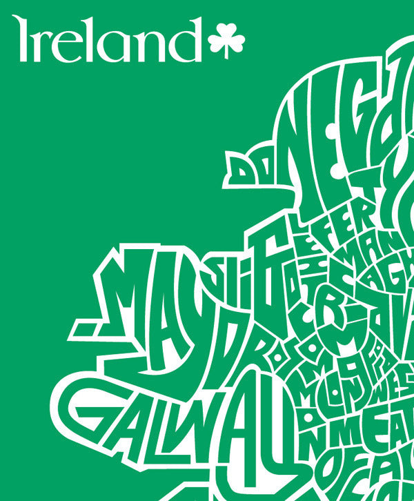
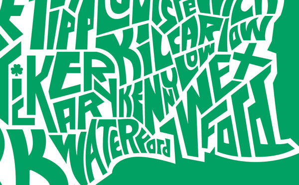
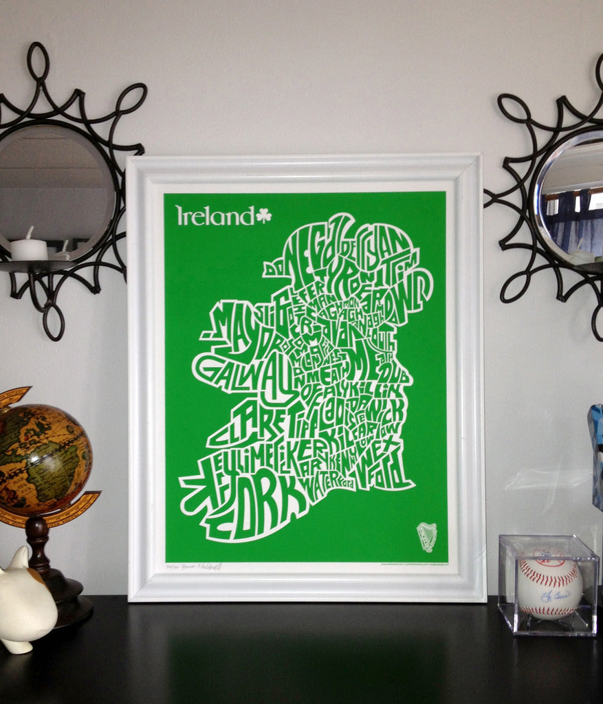


Ireland County Map
$20.00
According to folklore the land divisions that make up the counties of Ireland were made following the Norman invasion in the late 12th century and those there after. They certainly had no idea that an American graphic designer would come along and take take the names of those counties and make a cool map.
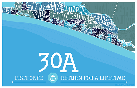
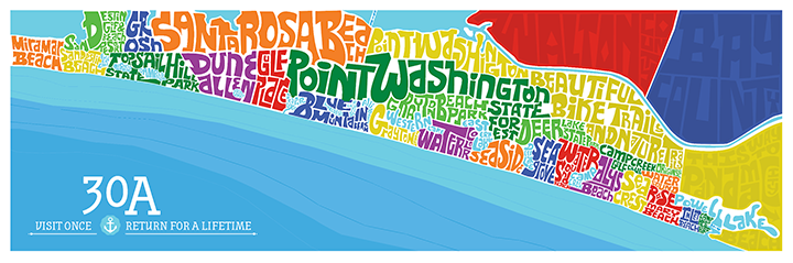
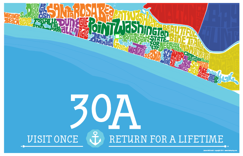
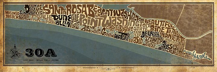
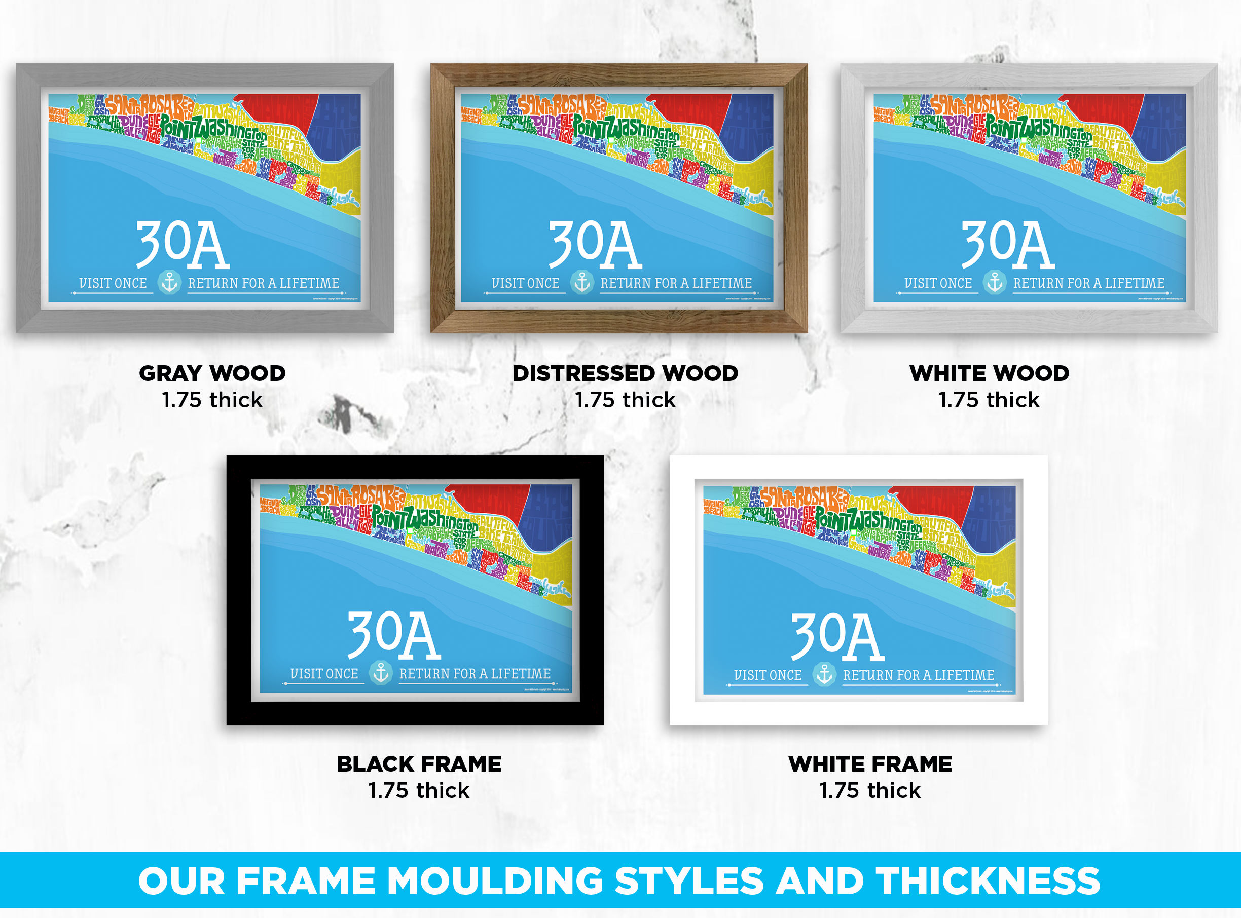
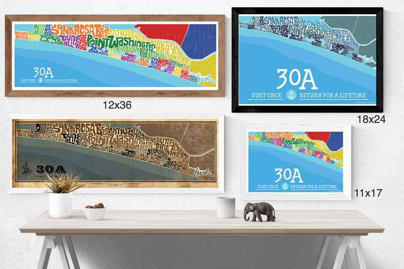
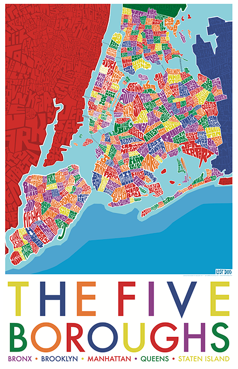
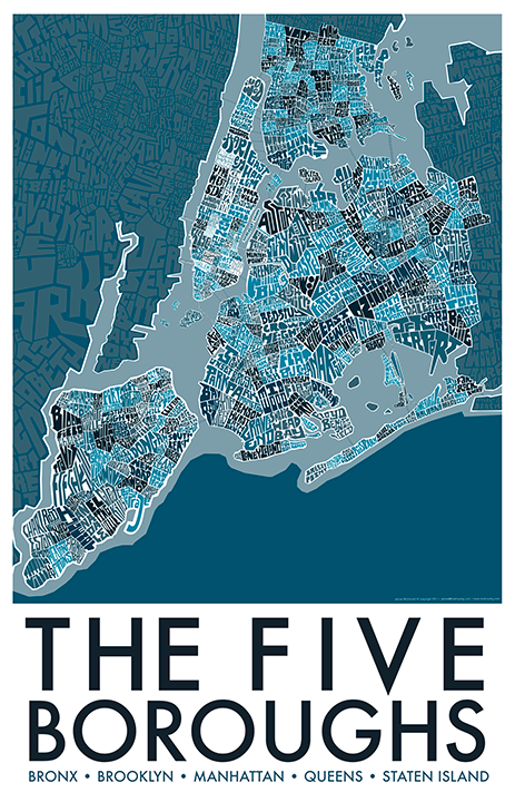
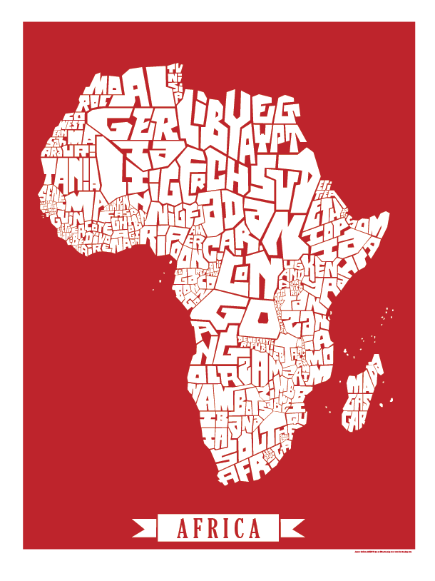
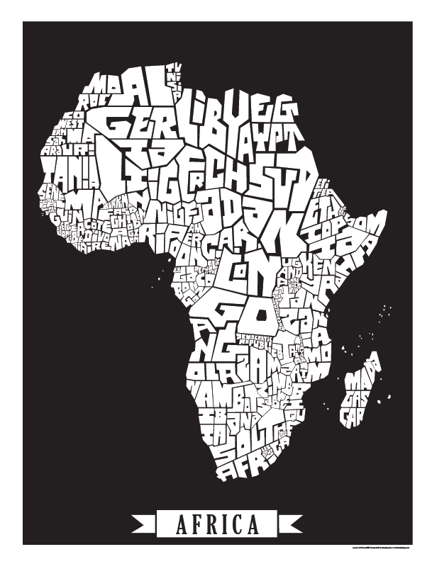
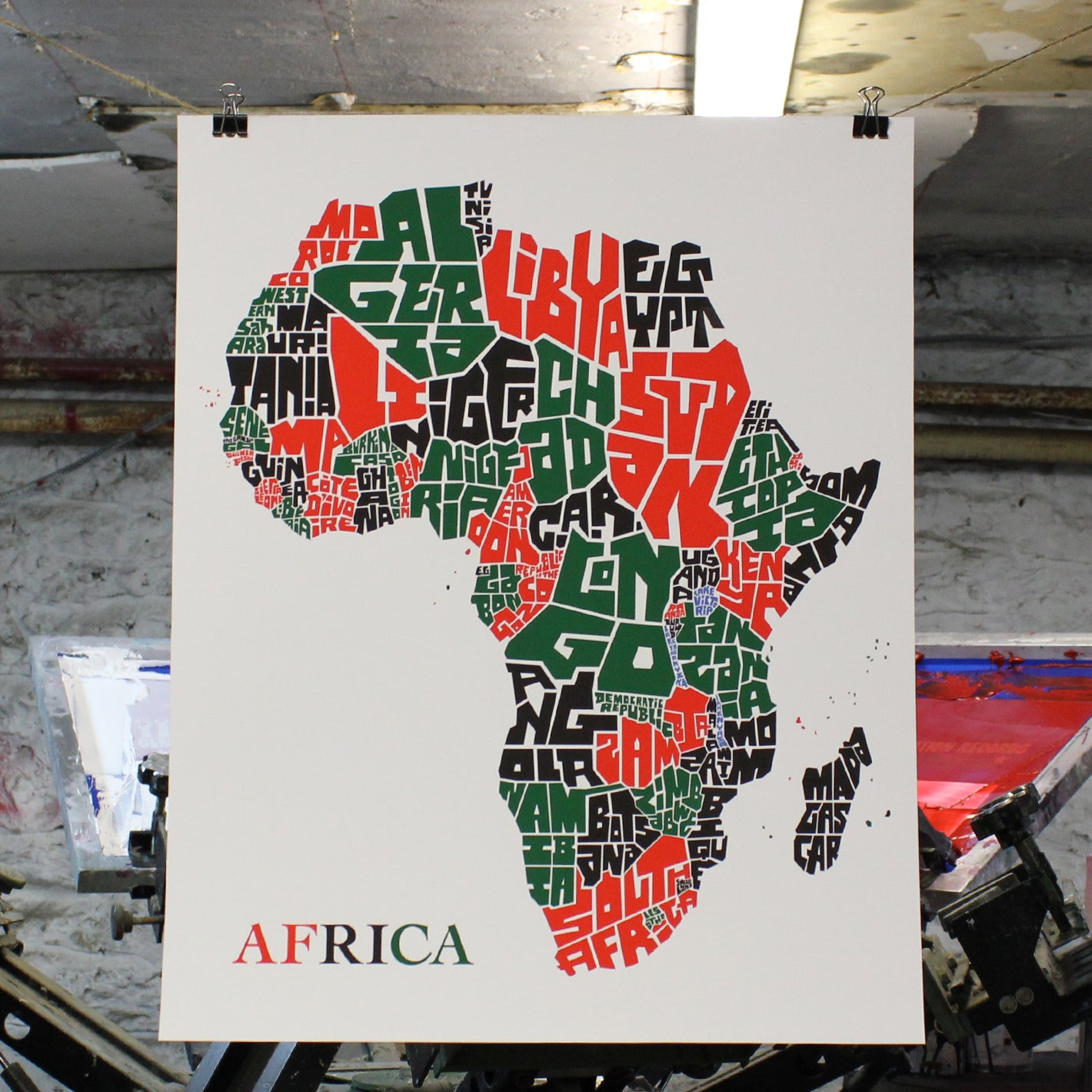
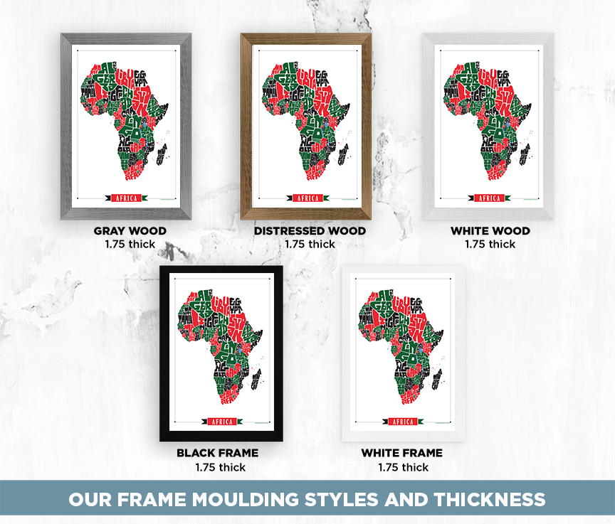
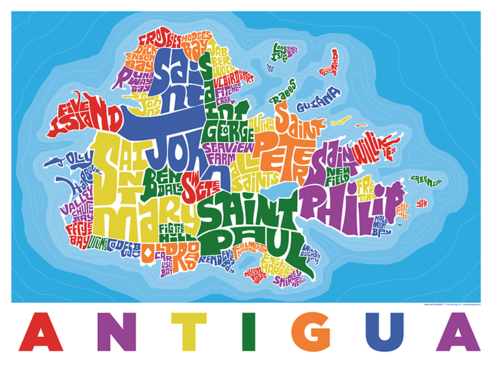
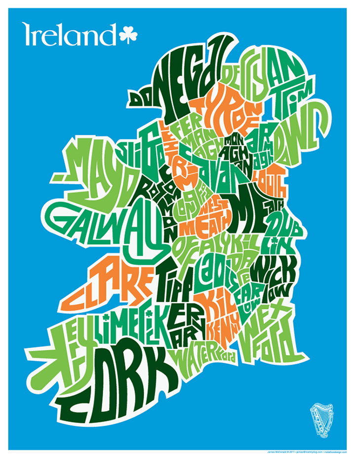
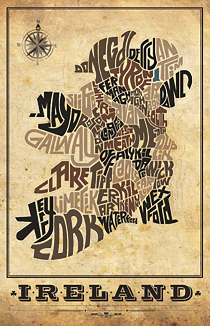
The map shows all of the 32 counties from Ireland and the North within their geographic boundaries. A great way to show your pride for the mother land and have the luck of the Irish in your home or office. Also available in a 5 colored version.
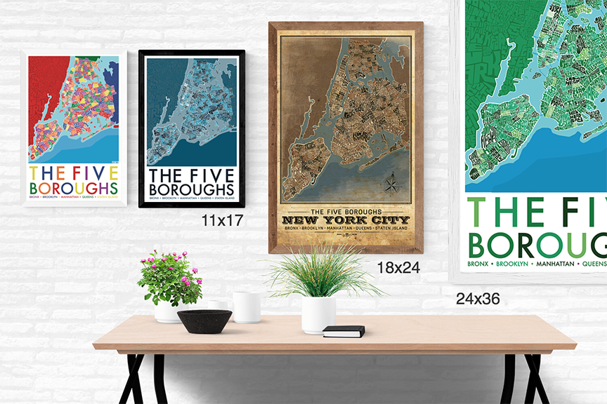
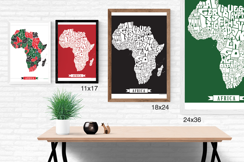
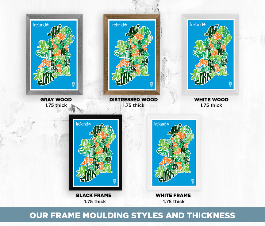
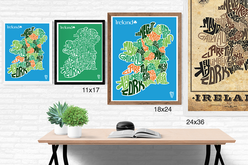
- 11x17 Digital Print
- 80 lb Strathmore Cover (thick paper)
- Unsigned
- 18x24 and Larger
- Giclee Print
- 60 lb Super Heavyweight Matte Paper
- Signed by the Artist
- Puzzles are mounted to .25 inch foamcore board and cut randomly in a slide style. Not two maps are identical and are approximately 250-300 pieces. They are signed and cut by the artist.
Shipped in our custom protective corrugated box
-
Larger prints are individually printed as a Giclee print on high quality paper using 12 color HP Viviera inks. A superb gallery quality art print whose colors will maintain their original luster for 200 years See more about the superb quality of Giclee prints here: HP Designjet
- This image is copyright protected with the US Copyright offices. Any use of it without consent is prohibited. Simply contact me for permission of use in commercial instances.